
Verterra Projects
Discover our on-ground expertise in project design and delivery.
Monitoring Vegetation Respose to Subsidence-related Inundation
Environmental Authority conditions at this mine limit the impact of mining activities on remnant vegetation within the lease, however, subsidence above longwall mining operations had created local drainage depressions.
This had resulted in seasonal inundation and vegetation mortality and affected areas included mapped Category A or B vegetation and contained an endangered Regional Ecosystem.
Verterra was engaged to develop a rolling ecological monitoring program to establish baseline vegetation condition, assess the effects of inundation and provide evidence for future management decisions.

Evaluating Pit Rock as an Alternative Rehabilitation Material
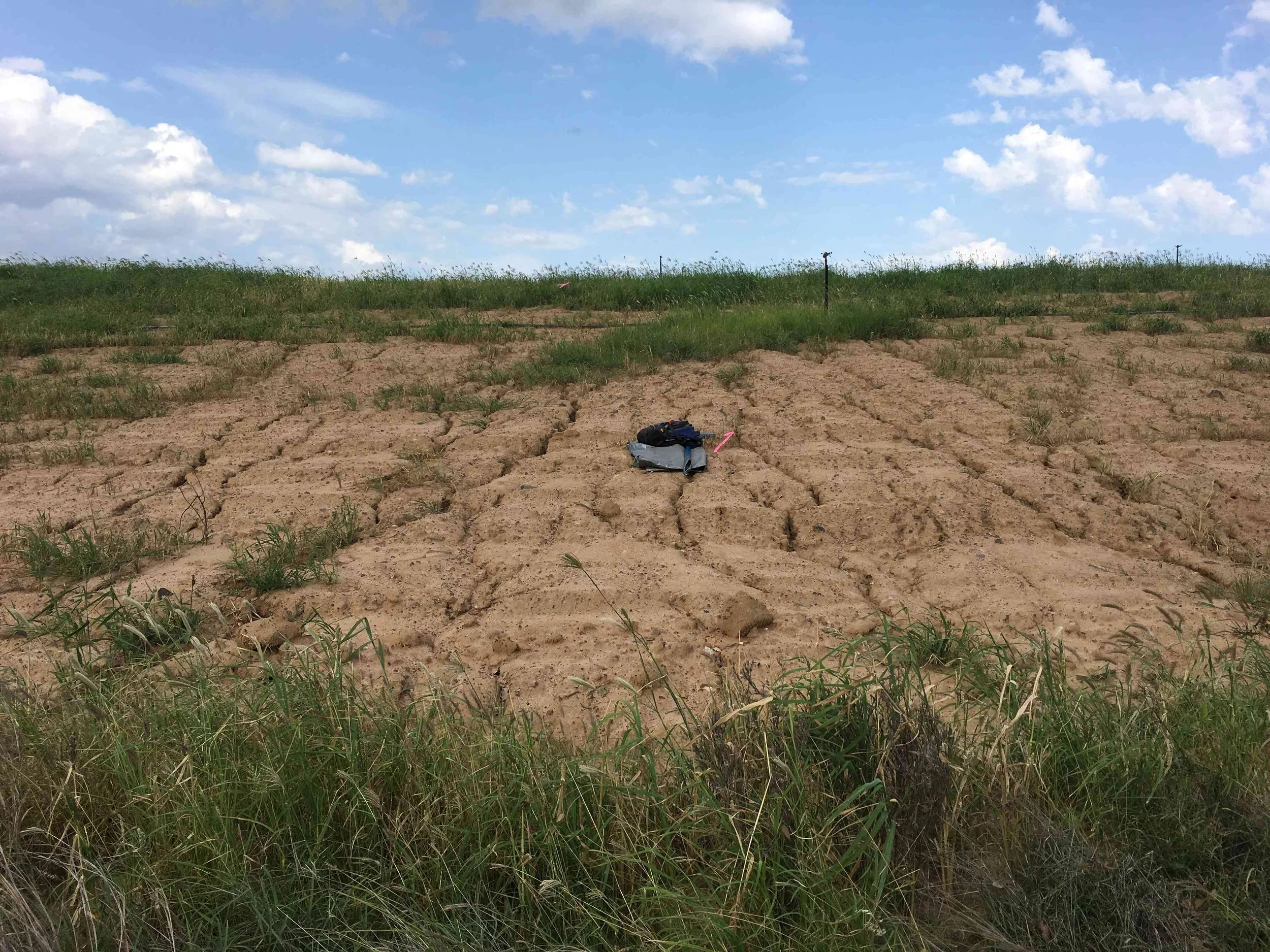
Rock mulching can help protect mine rehabilitation surfaces from erosion, but sourcing suitable quarry rock can add significant cost through additional drilling, blasting and haulage.
In 2017, this client established a 10,000 bank cubic metre trial to investigate whether rock extracted during mining could provide a practical alternative.
For pit rock to perform effectively in rehabilitation, it must remain sufficiently competent when exposed to weathering, resisting breakdown and erosion, and avoid releasing salts or other materials that could constrain vegetation establishment.
Verterra was engaged to assess the trial and determine whether the material could be a viable alternative to quarry rock.

Yandina Creek Wetlands - Monitoring and Revegation
Engaged by Unitywater to monitor vegetation and water quality, remove tidal gates, undertake tidal monitoring, UAV footage and BioCondition monitoring for the Yandina Creek Wetlands for a three-year period.

Grosvenor Subsidence Impact Assessment
Verterra has specific expertise and prior experience in detailed spatial and quantitative impact assessment and analysis of the effect of subsidence. This project, carried out for Anglo American’s Grosvenor Coal Mine, assessed the impact of subsidence on native vegetation.

Major Integrated Project: “Landholders Driving Change”
This project actively engaged graziers and landowners in the Bowen, Bogie, and Broken River Catchments to contribute to design land condition, pasture cover and productivity solutions to stem erosion and subsequent sediment run-off into local waterways.

Agricultural Water Demand for the North Queensland Region and Potential Impacts due to Climate Change
Sunwater and Qld Department of Natural Resources are faced with numerous proposals for irrigation development. Variation in the basis for economic, agronomic and yield assumptions between regions renders meaningful comparison of relative crop competitiveness in each region impossible.

Soil Carbon Baselining (Sampling & Data Management)
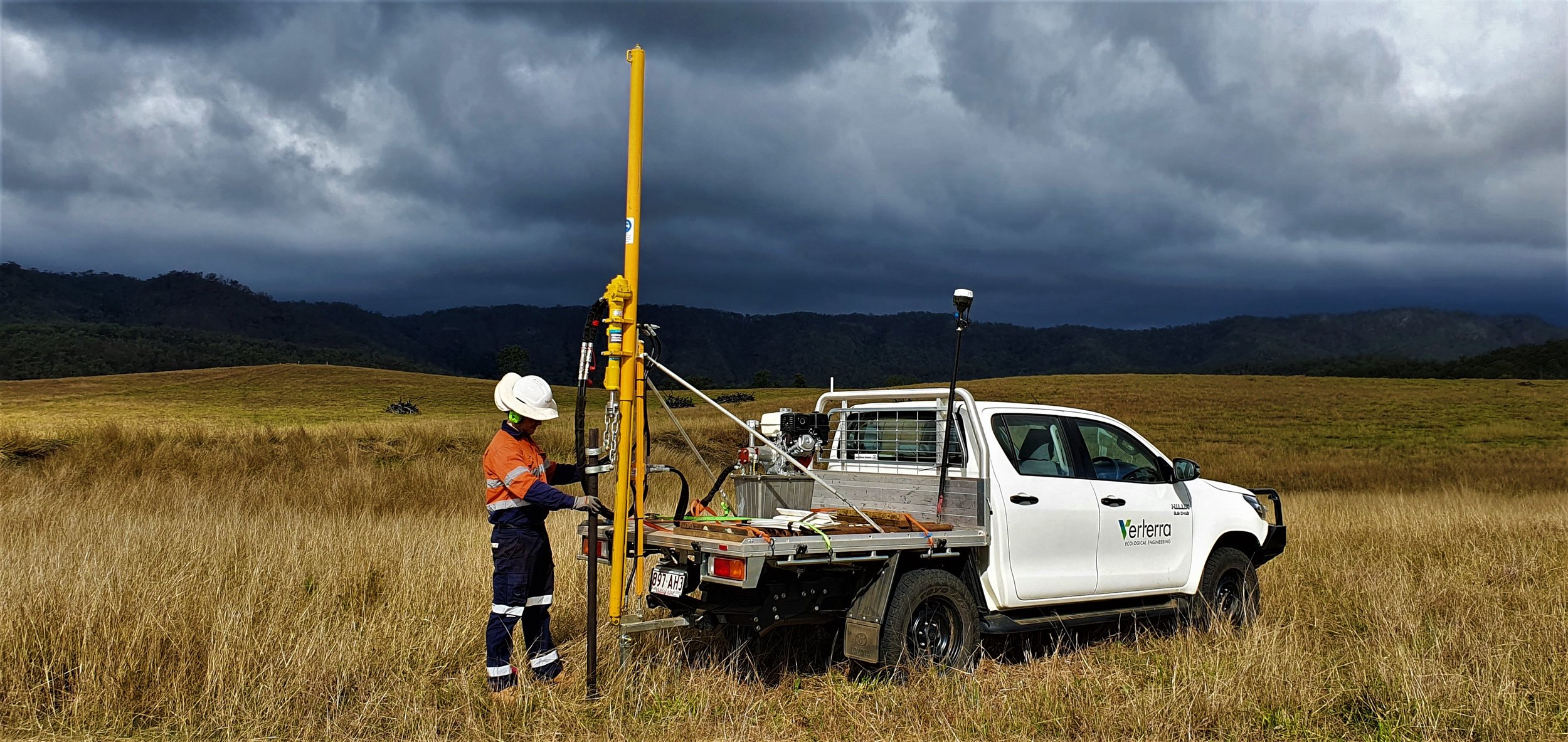
Soil carbon farming requires accurate measurement of dissolved organic carbon to determine a baseline to model gains in carbon sequestration. Verterra offers significant soil sampling capacity with four rigs and over 6 trained operators and since 2021 has been providing soil carbon baseline sampling services for Agriprove engaging with landholders across Queensland and northern New South Wales.

Reef Credit Method Development
Verterra developed the Grazing Land Management (GLM) Reef Credit Methodology in collaboration with AgriProve and GreenCollar. The Method allows farmers to generate Reef Credits and generate an alternative income stream by improving grazing practices and reducing fine sediment runoff, a critical step in protecting the Great Barrier Reef.