
Defensible Environmental Performance Intelligence for Complex Landscapes
VerterraPROVE is a performance intelligence system that measures and monitors environmental outcomes. Able to isolate the impact of management actions from seasonal variability, VerterraPROVE delivers defensible and verifiable proof of performance to turn environmental risk assessment into a strategic advantage.
VerterraPROVE combines established scientific models with advanced analytics to deliver ongoing whole-of-site performance intelligence incorporating landform design, soil condition, rainfall, vegetation, and rehabilitation systems.
A Whole-of-Site Performance Intelligence System
VerterraPROVE supports environmental compliance and mine-closure objectives, and enables a range of organisations to move beyond compliance and into natural capital value creation through biodiversity offset monitoring and reporting, landscape productivity and health assessments, and market integrity evidence.

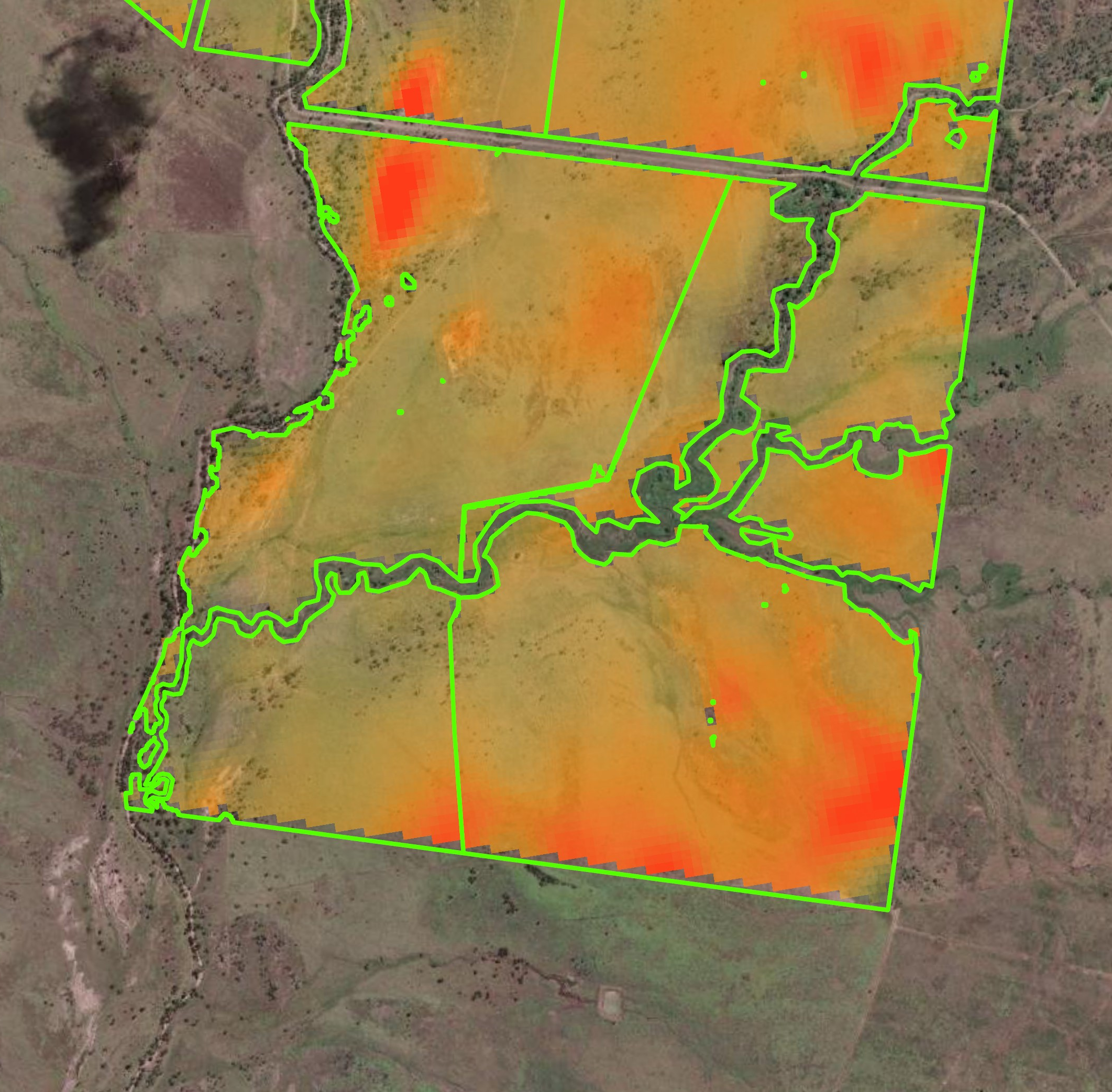
Regular, spatially explicit erosion & sediment accounting
Dynamic performance benchmarking against locally relevant control areas

Vegetation & ground cover performance monitoring
Isolation of management impact from seasonal variability

Early identification of high-risk or underperforming zones
Defensible data for ESG, offsets, compliance & mine-closure reporting
A Smarter Way to Measure Performance
VerterraPROVE integrates the Revised Universal Soil Loss Equation (RUSLE) with a novel application of Dynamic Reference Cover Modelling (DRCM) to localise baselines.
Built to be adaptable, VerterraPROVE can integrate a range of data inputs to provide whole-of-site intelligence which can be tailored to specified criteria.
-
DRCM establishes locally relevant baselines by identifying comparable reference areas within the surrounding landscape - creating a true counterfactual, not a generic average.
This allows VerterraPROVE to:
Quantify avoided sediment loss and sedimentation with defensible, site-specific data
Benchmark vegetation and ground cover against real local conditions - not regional averages
Separate management improvement impact from rainfall variability
The result is clearer attribution, stronger reporting and greater confidence in performance outcomes.
-
VerterraPROVE integrates digital data inputs such as LiDAR, rainfall, landform design, and high-resolution imagery to deliver ongoing, objective performance insight across entire sites - not isolated plots.
This enables:
Early identification of emerging risks and instability
Site-wide performance tracking aligned to closure, compliance criteria or offsets.
Better-informed decisions across planning, operations, rehabilitation and offsets.
-
VerterraPROVE adapts to your specific operational, regulatory and closure requirements - integrating digital design and evaluation models, and performance criteria into a unified monitoring framework.
This enables:
Tracking performance against design objectives and approval conditions
Aligning monitoring with closure criteria, offsets and rehabilitation success metrics
Generating reporting that stands up to regulatory and stakeholder scrutiny
VerterraPROVE Answers the Questions that Matter
Sediment & Erosion
How much erosion occured this month?
How much would have occurred without intervention?
What difference did our actions make?
Where are the high-risk areas that need attention?
Rehabilitation & Closure
Are our rehabilitation areas performing as designed?
How do they compare to locally relevant conditions?
What is the biomass, biodiversity and condition?
Are we trending towards stable, compliant and relinquishable landscapes?
Offsets & Vegetation
Is the offset site establishing and functioning as intended?
Is vegetation performance improving relative to comparable local ecosystems?
Are biodiversity offset obligations being met over time?
Can ecological outcomes be independently verified and defended?
VerterraPROVE is adaptable wherever environmental performance must be measured & verified, including:
-
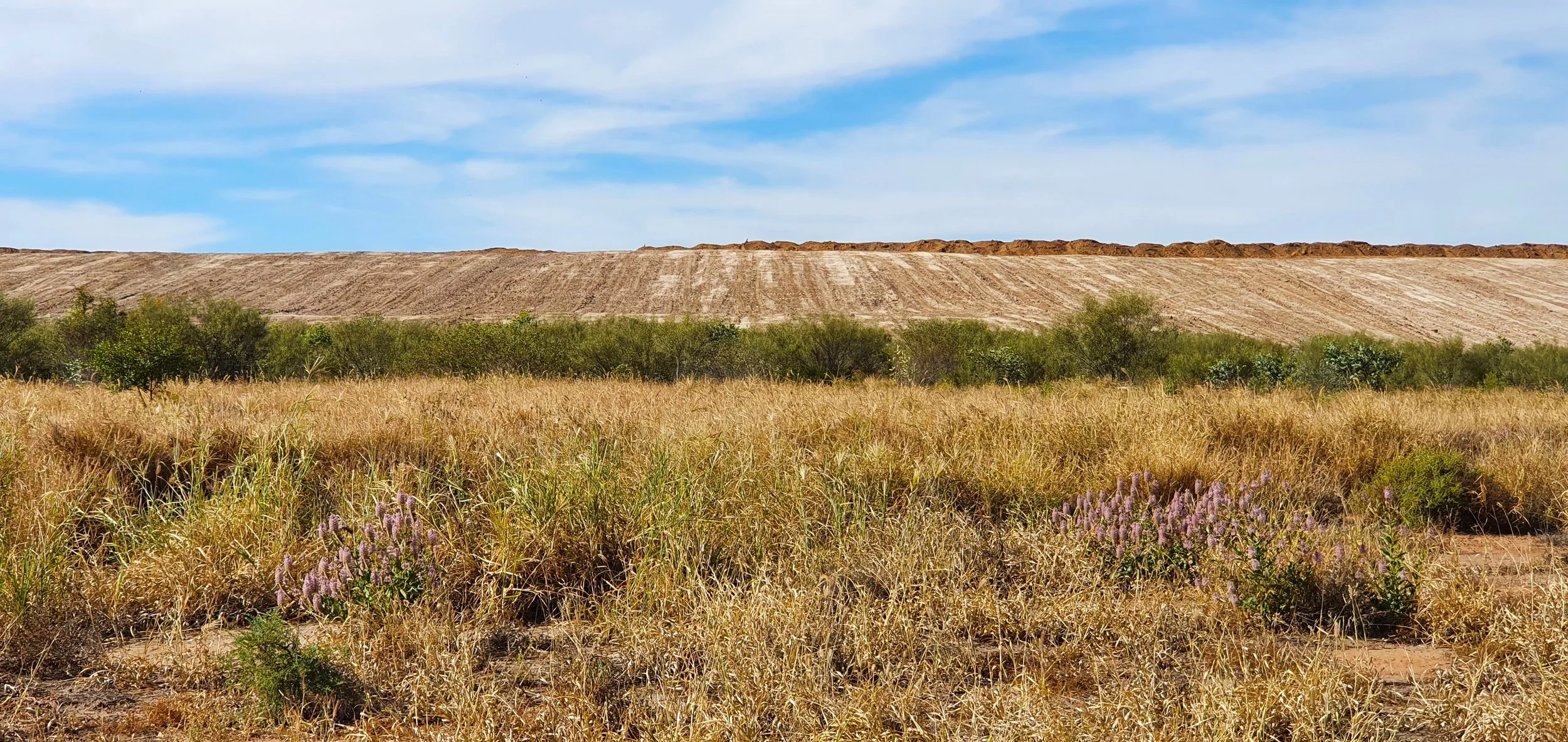
![Mine spoil pile with dry grassland with green bushes and purple flowers in the foreground]()
Mine Rehabilitation & Sediment Control
-
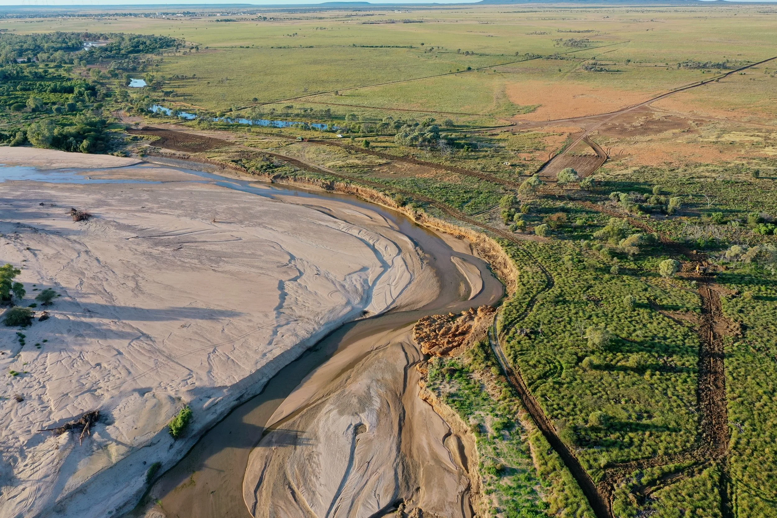
![Aerial view of a landscape with a river, sandy banks, green trees, farmland, and open fields stretching to the horizon.]()
Catchment Health & Sediment Accounting
-
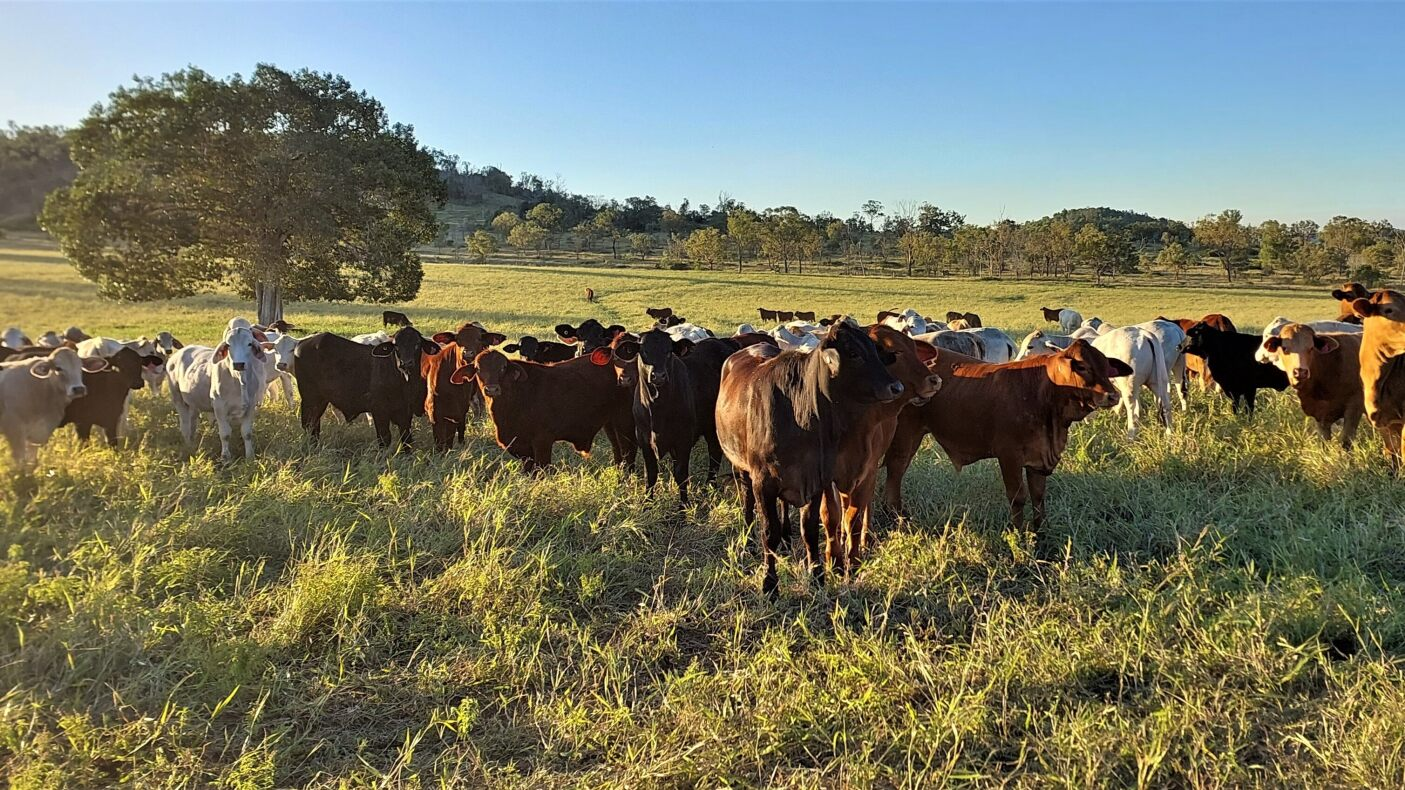
![A herd of cows grazing on a grassy field with a large tree and a clear blue sky in the background.]()
Agricultural Erosion & Ground Cover Monitoring
-
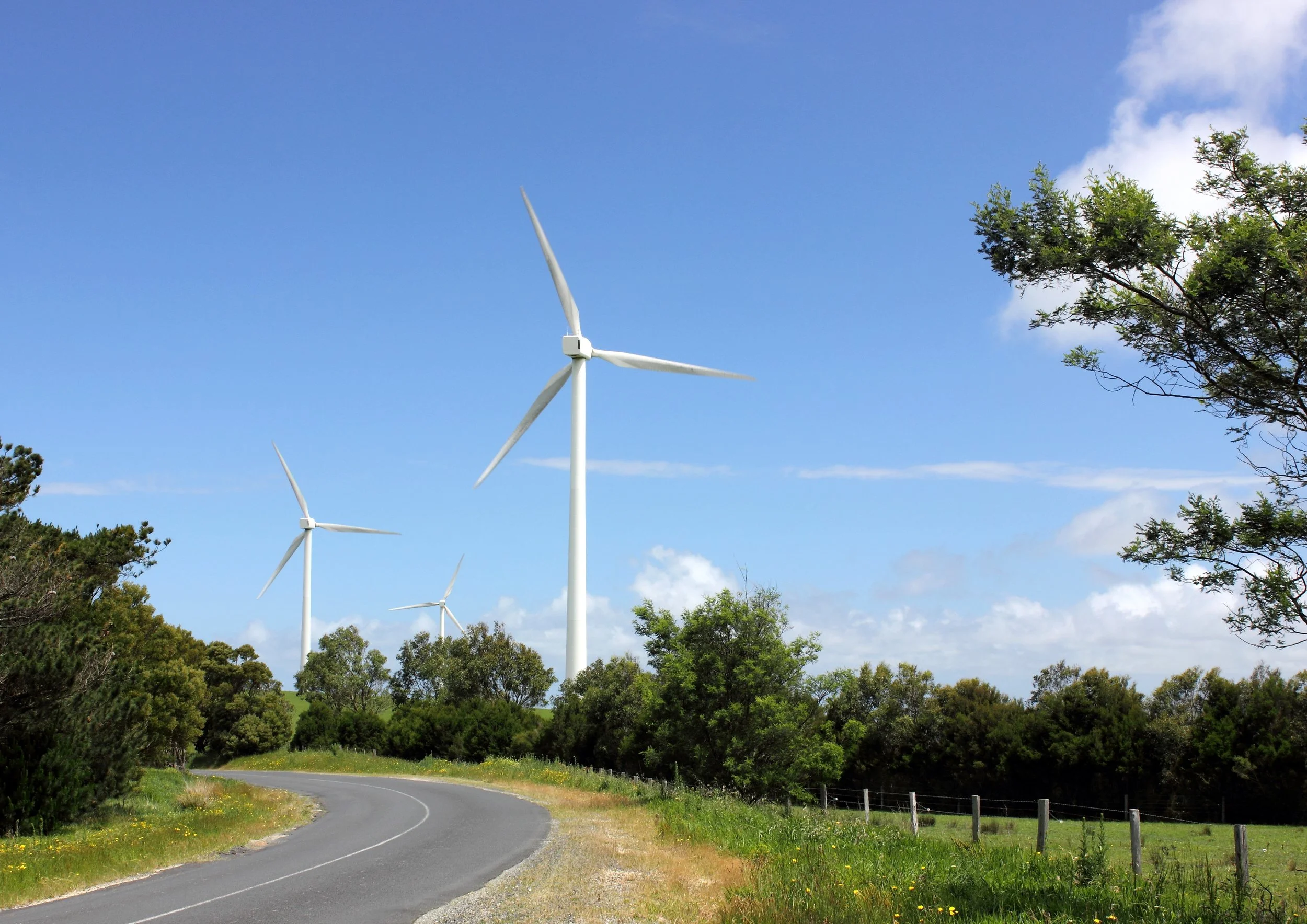
![A winding rural road with wind turbines in a green landscape under a partly cloudy blue sky.]()
Infrastructure Corridor Compliance & Risk Detection
-
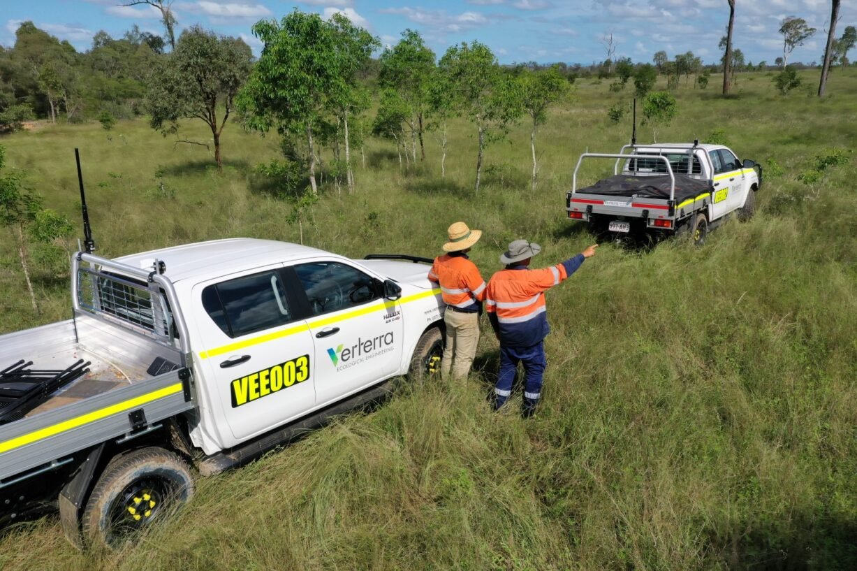
![Two people in safety vests and hats standing in tall grass, inspecting a white off-road vehicle with the Verterra ecological engineering logo.]()
Ecosystem Service & Natural Capital Market Baselines
-
![A mixed species forest from above]()
Environmental Offset Monitoring & Reporting
VerterraPROVE Erosion Intelligence Capability
Erosion is one of the most material environmental risks for mine sites, catchments and large infrastructure projects.
VerterraPROVE’s integration of RUSLE with DRCM provides:
Site-specific accuracy beyond RUSLE alone,
Quantification of avoided sediment export to prove management impact,
Identification of erosion hot-spots across rehabilitation areas, haul roads and disturbed land,
Defensible separation of seasonal effects from management impact.
VerterraPROVE enhances 3 key areas:
Operational Performance
Inform design to reduce risk,
Target high-risk zones before failure,
Optimise rehabilitation investment,
Reduce reactive works,
Improve internal decision-making.
Regulatory & Closure Confidence
Commercial & Market Value
Demonstrate progress toward completion criteria,
Strengthen audit reporting,
Reduce reliance on control plots,
Support relinquishment pathways.
Underpin offsets and ecosystem market participation,
Strengthen ESG credibility,
Improve social licence-to-operate,
Turn environmental performance into measurable value.
Part of Verterra’s Performance Ecosystem
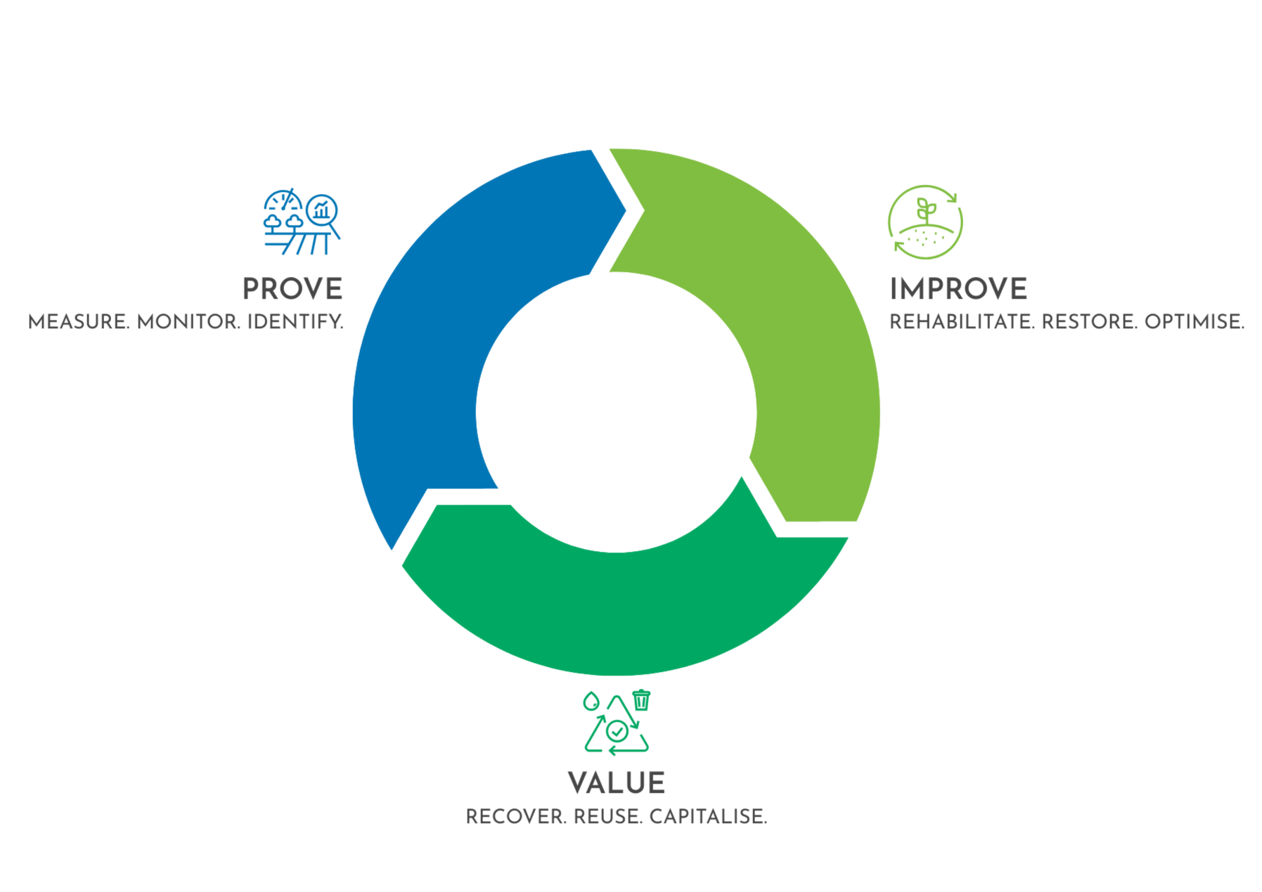
It establishes defensible baselines, informs design through ReVert and ReVive, verifies outcomes, and underpins value creation through ReValue solutions.
VerterraPROVE is the foundation of improvement - and the pathway to value.
VerterraPROVE is the PROVE engine within our Performance Ecosystem.
From Monitoring to Measurable Impact
Environmental performance must be measureable, defensible and economically relevant.
VerterraPROVE ensures it is.