
Monitoring Vegetation Respose to Subsidence-related Inundation
Services: UAV ecological assessment, multispectral vegetation monitoring, impact stratification and time-series monitoring
Location: Queensland
Date: 2018
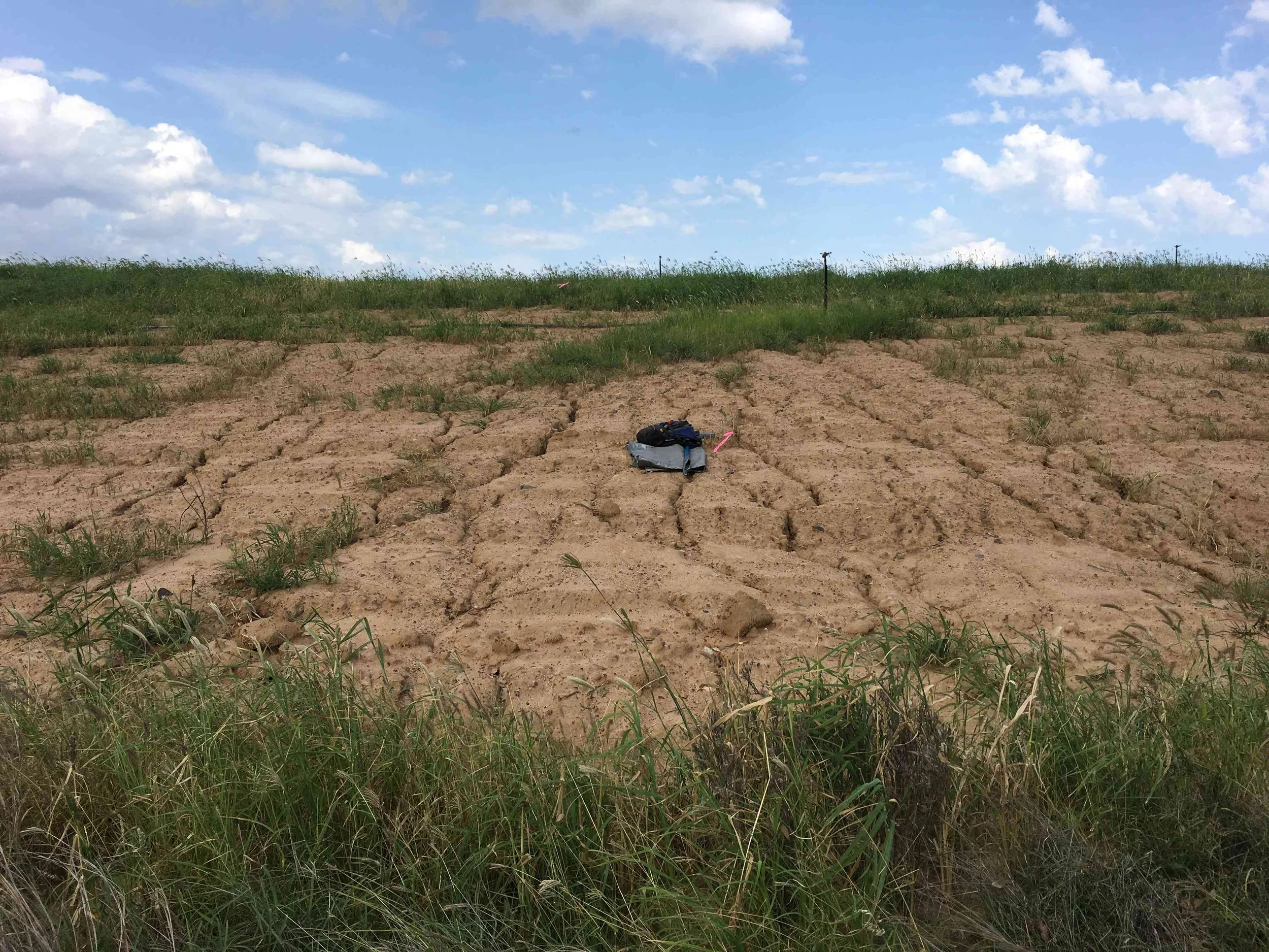
Setting up for monitoring of subsidence after inundation
Our Scope
Environmental Authority conditions at this mine limit the impact of mining activities on remnant vegetation within the lease, however, subsidence above longwall mining operations had created local drainage depressions.
This had resulted in seasonal inundation and vegetation mortality, with affected areas including mapped Category A or B vegetation and contained an endangered Regional Ecosystem.
Verterra was engaged to develop a rolling ecological monitoring program to establish baseline vegetation condition, assess the effects of inundation and provide evidence for future management decisions.
PROVE
The initial assessment covered 9.75 hectares of endangered remnant vegetation. It incorporated subsided land exposed to varying levels of seasonal inundation and an adjacent control area at the natural land surface.
Verterra captured the site using a UAV equipped with:
A visible-colour red, green and blue (RGB) camera
A multispectral camera capturing green, red, red-edge and near-infrared wavelengths
Visible imagery and vegetation indices generated from the multispectral data were used to assess vegetation cover and health across the area.
The Modified Soil-Adjusted Vegetation Index was mapped across the site, enabling Verterra to stratify the vegetation into different inundation and disturbance classes. The analysis demonstrated declining vegetation vigour and cover as the degree of inundation increased.
Verterrra’s approach also identified areas that had previously been cleared for reasons unrelated to subsidence or inundation, helping distinguish the effects of different disturbances.
IMPROVE
The baseline assessment formed the first stage of a rolling monitoring program covering subsidence panels and spoil stockpiles.
By establishing vegetation condition under different levels of inundation, Verterra created a basis for assessing change after the affected areas had dried. Subsequent monitoring could determine whether vegetation vigour and cover recovered naturally or whether soil saturation and other residual effects continued to constrain the ecosystem.
This evidence allowed management responses to be matched to observed performance. It provided a basis for deciding whether drainage was sufficient or whether largerscale remediation or rehabilitation intervention could be required.
VALUE
The initial monitoring round established a spatially explicit baseline of vegetation health under the site’s principal stressor: seasonal inundation.
Comparison with an adjacent control area and repeat assessment after drying enabled the client to evaluate the resilience of the endangered vegetation community and its capacity for recovery.
The program replaced uncertainty about the extent and persistence of the impact with objective, repeatable evidence which:
Supported more defensible management decisions,
Helped distinguish subsidence-related impacts from other disturbances
Provided a foundation for targeting intervention where it was most needed.