
From Monitoring to Environmental Performance Intelligence
The future of environmental monitoring isn't replacing ecologists with drones. It's teaching technology to think more like an ecologist.
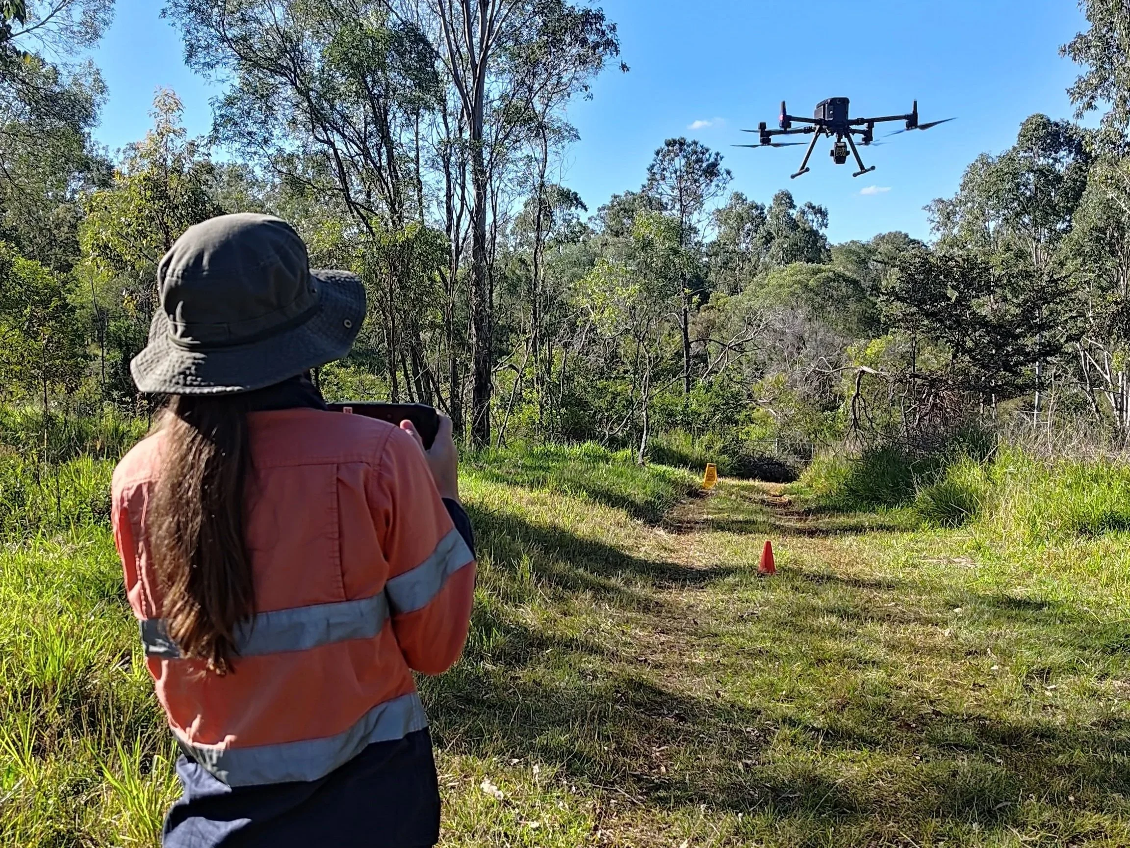
There is growing excitement around the use of drones, LiDAR, satellite imagery and artificial intelligence to monitor environmental restoration. The promise is compelling. Large areas can be surveyed quickly, consistently and at lower cost than traditional field assessments.
But every reliable environmental monitoring system ultimately depends on good ecological data collected on the ground. Without it, remote sensing becomes little more than attractive imagery.
This is the foundation of what we call Environmental Performance Intelligence - combining ecological expertise with multiple sources of data to understand not just what a landscape looks like, but how it is functioning and where it is heading.
That’s why, at Verterra, we see technology not as a replacement for ecological expertise, but as a way to scale it.
Different restoration projects require different monitoring
One of the biggest misconceptions is that there is a single monitoring approach suitable for every project. In reality, monitoring should always reflect the ecological objective.
Two recent projects for Seqwater demonstrate this well.
Example One: Measuring the development of a koala habitat
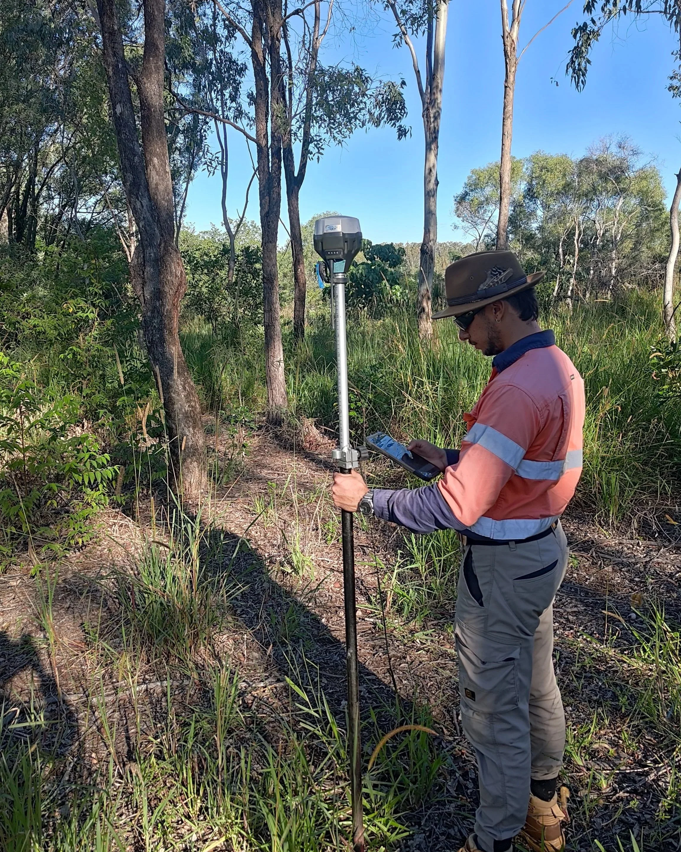
Recently, we undertook the annual monitoring of a five-hectare koala habitat offset – a very labour-intensive ground-truthing job that involves checking every single tree. Over 700 in total!
Rather than simply counting the trees, each tree was assessed for height, stem diameter, health, condition and relative species performance. As the plantation contains six different koala food tree species, each species is expected to develop differently over time.
The objective of this type of monitoring isn't simply to check if the trees are growing, it's to understand whether the plantation is developing towards the structure and composition expected of a healthy remnant koala habitat.
The data gathered from the assessment identifies mortality trends and where infill planting may be required to keep the project on track.
This also presented an opportunity to ask an important question: how much of this ecological understanding could eventually be captured through remote sensing, without losing scientific confidence?
Image: The Verterra team on site comparing readings from drone monitoring with those from ground truthing.
Introducing technology naturally
To test the hypothesis, while undertaking these field assessments, our team also collected LiDAR and multispectral drone imagery across the site.
Because every tree had already been measured on the ground, the remote sensing data could be directly linked to real ecological observations. So rather than replacing field monitoring, the technology is learning from it.
Each survey improves our understanding of how remotely sensed information relates to actual vegetation condition, which helps build our ability to use technology effectively in the future.
Example 2: Monitoring landscape-scale vegetation recovery
The second project – also for Seqwater - presented a very different challenge. While the previous example focused on understanding the development of individual trees, our second monitoring program demonstrates how the monitoring approach changes as projects become larger and more complex.
Spanning approximately 1,800 hectares, this vegetation offset area combines reforested areas with areas of assisted natural regeneration.
Monitoring at this scale focuses less on individual trees and more on whether ecological processes across the site are progressing as intended.
Field assessments examine factors such as, vegetation establishment, regeneration success, weed pressure, bushfire fuel load, and whether management interventions are required to keep the project on track and protected against wildfires. The monitoring outcomes directly inform adaptive management, ensuring activities such as weed control continue to support long-term vegetation recovery.
In this scenario, remote sensing provides valuable landscape context, but ecological interpretation remains essential.
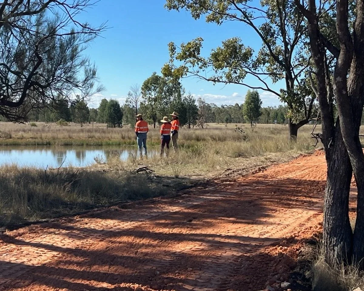
Image: The Verterra team on-site.
No single monitoring method tells the whole story
While remote sensing methods are continually evolving, each monitoring method has its own strengths and limitations. Ground truthing is highly accurate, but time intensive and costly, whereas satellite monitoring is cost-effective, but may lack the detail required to interpret whether a project is progressing towards a functioning ecosystem.
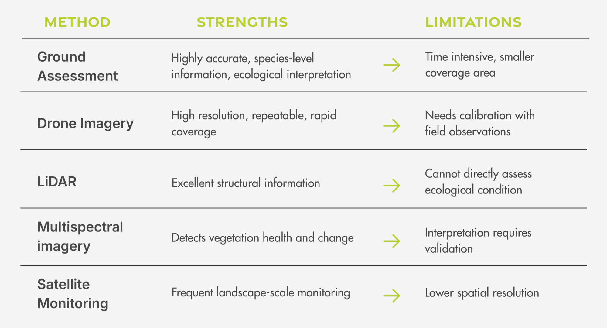
At Verterra, we believe the future isn't choosing one method - it's integrating all of them.
Building Environmental Performance Intelligence
Every field assessment we undertake adds to a continuously growing ecological knowledge base.
By combining expert field observations with drone imagery, LiDAR, multispectral data and long-term monitoring records, we're progressively teaching our monitoring systems how healthy ecosystems develop and how degraded landscapes recover.
As these models mature, they'll enable faster, more cost-effective monitoring while maintaining scientific confidence because every prediction is grounded in real ecological measurements and expert assessment.
In other words, we're not asking technology to replace field ecologists. We're using field ecology to teach technology how healthy ecosystems behave.
Looking beyond compliance
Monitoring is often viewed simply as a compliance requirement, but we see something much bigger.
· Every assessment generates knowledge that can improve future restoration.
· Every survey helps us better understand how ecosystems respond to management.
· Every new dataset strengthens our ability to monitor larger landscapes with greater confidence and efficiency.
That's the thinking behind VerterraPROVE and DROVER Monitor.
Rather than treating monitoring as a series of disconnected reports, these solutions are being built as Environmental Performance Intelligence systems - integrating field ecology, remote sensing, long-term monitoring and ecological benchmarking to help land managers understand not just what has changed, but why it has changed and what should happen next.
It’s a form of ecological engineering – looking at the whole system to understand how each part functions and influences others. The future of environmental monitoring isn't simply collecting more data - it's generating better ecological intelligence.
That intelligence will always start on the ground, because we’re not replacing ecologists with technology, we’re using ecology to teach technology – and every field assessment, makes that intelligence stronger.