
Informing Practice Change in Irrigated Landscapes
Services: Modelling of Erosion and Nutrient Losses in Irrigated Agriculture Developments
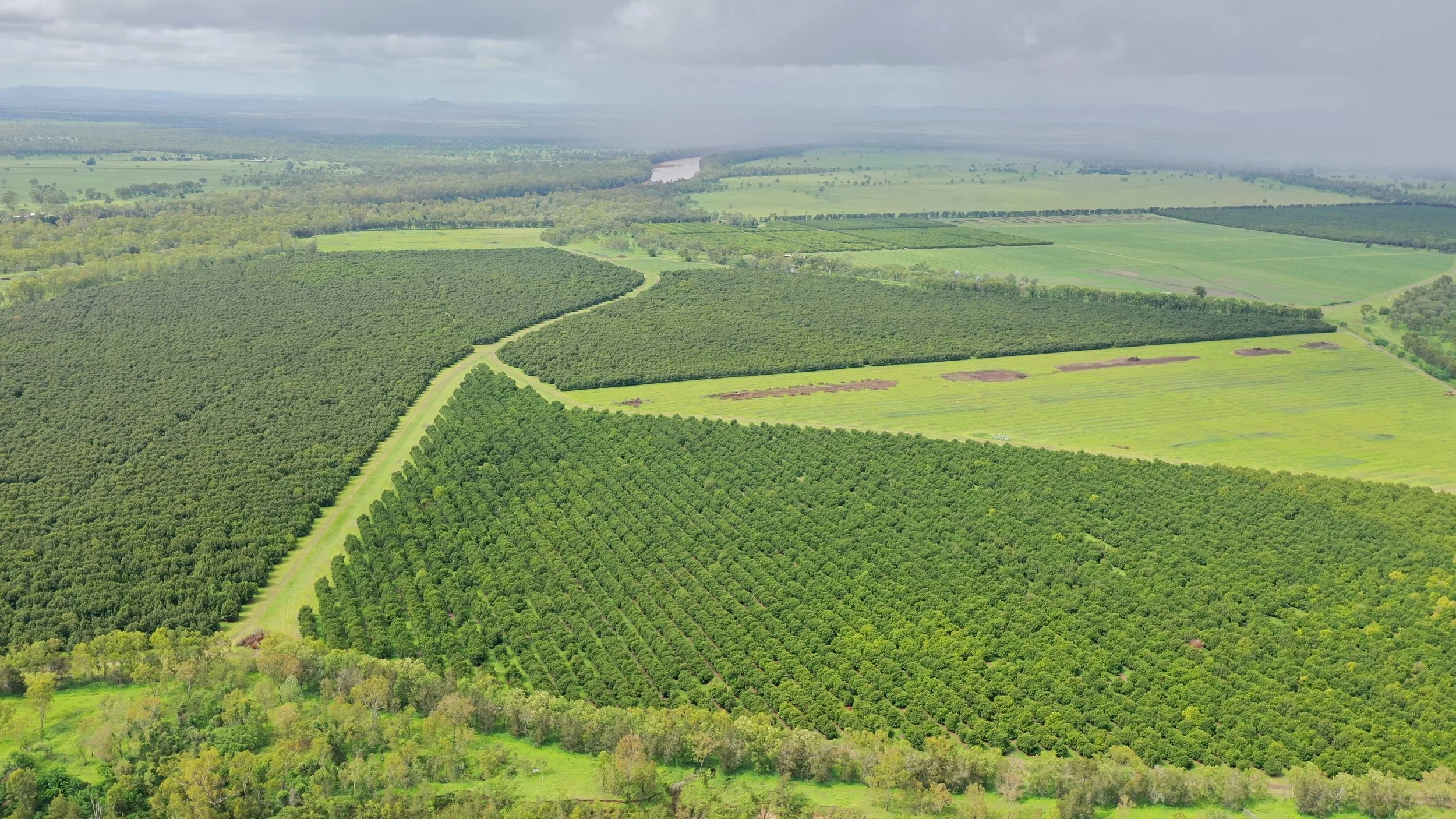
Location: Northern Queensland
Date: ongoing
With a thorough understanding of environmental risk, agricultural irrigation schemes can be designed to address potential risk and minimise off-site impact.
Our Scope
Northern Australia is considered a high-potential region for expanding irrigated agriculture due to the availability of rainfall and relatively undeveloped land. However, increasing land under irrigation can elevate the risk of sediment, nutrient, and pesticide runoff—particularly into sensitive waterways that feed into the Great Barrier Reef.
Verterra was engaged to assess the environmental risks of proposed irrigation schemes and support landholders and developers in meeting Queensland regulatory requirements for water quality protection.
Challenges
Increased pollutant export: Irrigation intensification can elevate sediment loss, nitrogen runoff, and pesticide transport—especially if land management practices are not optimised.
Catchment sensitivity: Many proposed irrigation sites are in catchments that drain to the Great Barrier Reef, heightening the importance of water quality management.
Regulatory obligations: Queensland legislation requires demonstration that new irrigation developments will not lead to increased pollution loads to reef-associated waterways.
Variable landholder practices: Management intensity and erosion control vary widely between farms and crops, requiring tailored assessment and planning.
Verterra’s Solution
Verterra conducted a series of desktop risk assessments to evaluate the potential impact of irrigated land use changes across several proposed schemes:
Assessed sediment export risk using landform, soil, and rainfall data
Modelled nitrogen and pesticide loss potential based on cropping systems and application practices
Modelled soil salinisation risks and leaching fractions based on soil and water characteristics
Identified key risk factors and mitigation opportunities for each landholder and the wider catchment
The results were used to develop property-specific management plans that aligned with best practice land management and regulatory requirements. These plans enabled landholders to confidently proceed with development while minimising off-site impacts.
Project Highlights
Evaluated sediment, nutrient, and pesticide export risks across multiple properties and crop types
Demonstrated strong influence of management practices in mitigating environmental impacts
Created practical farm-based management plans tailored to landholder operations and catchment constraints
Supported compliance with Great Barrier Reef water quality regulations
Outcomes
Regulatory assurance: Risk assessments and management plans enabled approval pathways for irrigation expansion
Targeted practice change: Landholders adopted improved land management practices to control erosion and nutrient runoff
Enhanced environmental outcomes: Reduced risk of downstream water quality degradation
Sustainable development: Enabled economic development through irrigation while protecting natural assets
Find out more about our experience in land management, water quality and irrigation. Contact our team.